Caballo Blanco
This is the course from Chris Rios' Caballo Blanco Fat Ass Run, so you may already know it. It features a nice variation of uphill and downhill terrain. Distance is about 5.1 miles. Start and finish are at the College Trailhead.
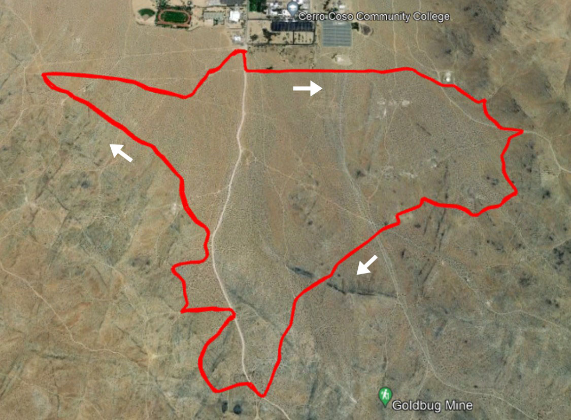
This course has lots of turns on dirt roads and trails, so the navigation technology will be key to following it. The navigation routes and the course description provided here all assume you are traveling the course clockwise.
The green buttons will take you to a Course page on Garmin Connect, or a Route on Strava or MapMyRun. If you need a .gpx file, you will be able to download that from any of these route pages. You can review the route navigation instructions here.
Course Description
This description may be useful in supplementing the navigation tools. From the College Trailhead parking lot, head south on the unpaved College Heights Blvd. Turn left onto the dirt road that runs along the college fenceline. Continue towards the water tank. Skirt the south side of the fenced tank and turn right onto the rock-bordered single track at the trailhead sign.
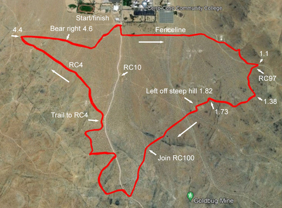
Turn back sharply to the right where another single track joins. Continue on this trail to merge onto a prominent road, and continue uphill. Turn right at RC97 (about 1.1 miles from the start) then left at the first dirt road going uphill. At about 1.38 miles, turn right on a less-traveled road.
This is an enjoyable section, becoming a trail, and wandering across the slope. Watch for a left turn at about 1.7 miles. Head south here, then bend right toward the southwest. At the top of the second rise, at about 1.8 miles, take a left turn for a less steep exit from that hill, then go back to the right at the bottom.
Cross a north-south trending road, then a pair of roads, continuing your ascent to the southwest. At about 2.2 miles, top a ridge, then descend to join a road coming from the north. At the next rise, descend to a major road. This is RC10, the dirt extension of College Heights.
Head downhill on RC10 for a short time. At about 2.64 miles, turn left to take a short detour. The rocky road bends right as it tops a ridge. As you descend, bear right onto a northbound road that will take you back to RC10 at about 3 miles.
A second detour starts at a left turn in a few yards. After a gradual ascent to the west, turn sharply back to the right at about 3.2 miles. At a Y, bear left to top a small rise, then descend and head back towards RC10. Just before reaching RC10, the route turns dowhill on a faint trail and joins RC4 heading northwest. (If you miss the faint trail, just continue to RC10 and angle left onto RC4.)
Enjoy the mostly downhill cruise on RC4 until a sharp right turn just before 4.4 miles. While it's easy to find your way back to the parking lot from here, the official course veers right at about 4.6 miles, following a sometimes bumpy track for awhile. Merge onto a more prominent road coming from uphill in about a quarter mile, and follow it as it turns back towards the parking lot in a few yards. A single track bike trail provides the most direct route back to the southwest corner of the parking area.